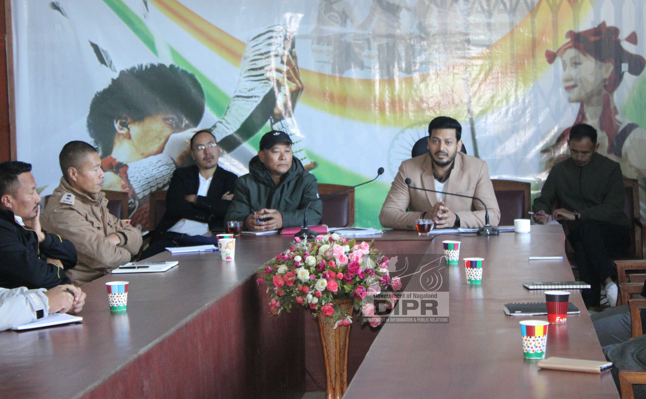
A one-day workshop for nodal officers of line departments on the implementation of the plan of action on the use of space technology inputs in Nagaland was conducted at Nagaland GIS & Remote Sensing Centre (NGISRSC), Kohima on 26th July 2022.
Speaking at the inaugural session, Principal Secretary and Development Commissioner, Government of Nagaland, Amardeep Singh Bhatia, IAS said the Plan of Action has been finalized after consultation with the North Eastern Space Applications Centre (NESAC). He said the GIS cell has been a database for Nagaland which needs to be carried forward. He added that it has developed initiatives with expert organizations such as NESAC and ISRO. He expressed his contentment that the State, through the use of technology, is in progress with the rest of the states.
Bhatia stated that proper geospatial data can help in the preparation of projects and help monitor the progress of the projects. He also said that satellite technology can help in proper monitoring of projects in remote areas which are otherwise difficult to reach due to the rough terrain of the State. He also highlighted that if proper technology is used by various departments, there will be ample data that can help in optimal usage of resources and benefits would reach the maximum number of people.
Technical session on “Indian Space Programme” was taken up by Director, NESAC, Department of Space, Government of India, Dr. S. P. Aggarwal while Project Director, NGISRSC, Er. Mhathung Kithan shared “Use of Space Based technology for Governance and Decision Making: A Decade of Service to the State of Nagaland”. Sessions on “Natural Resources Management”, “Agriculture and Allied Activities” and “Infrastructure, Planning & Technology Diffusion, Societal Applications” were taken up by the Nagaland GIS & Remote Sensing Centre (NGISRSC).
The workshop was organized by the Nagaland GIS & Remote Sensing Centre, Planning & Coordination Department, Government of Nagaland.
(Wepre Kronu, APRO)


