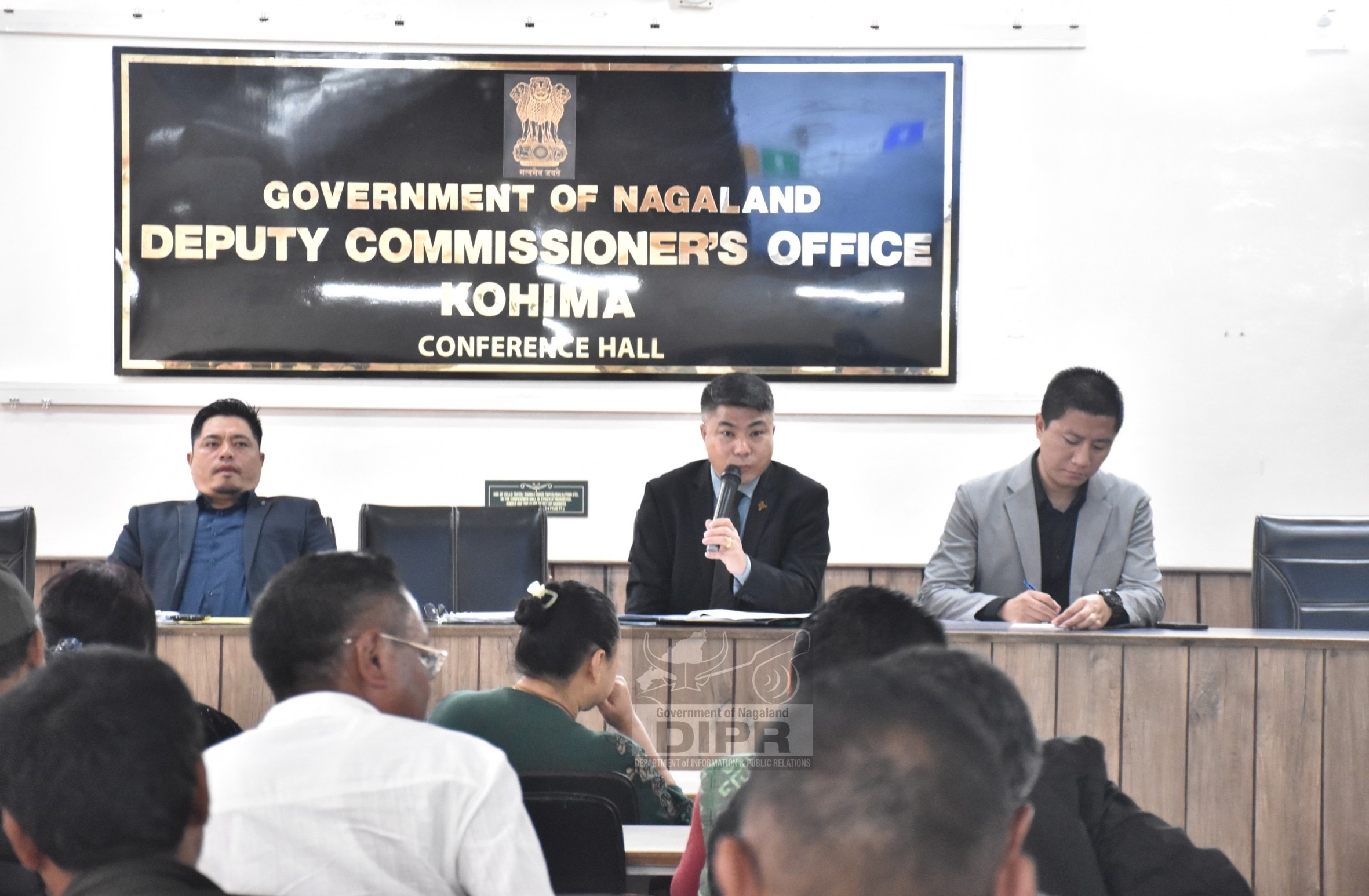
A state-level workshop on "Empowering Governance and Development by Leveraging Geospatial Resources" was held on 30th April 2025 at the de-Oriental Grand, Kohima. Organized jointly by the Nagaland GIS & Remote Sensing Centre Planning and Transformation Department, Government of Nagaland and the North Eastern Space Applications Centre (NESAC), Department of Space, Government of India, the event brought together experts, officials, and policymakers for a day of knowledge-sharing on geospatial advancements.
The inaugural programme was graced by the Guest of Honour, Temsunaro Aier, IAS, Development Commissioner, Planning & Transformation. Nounesenuo S. Iralu, Deputy Project Director of NGISRSC, chaired the session, while the keynote address was delivered by Er. Mhathung Kithan, Senior Project Director, NGISRSC.
Temsunaro Aier, in her speech described the event as a significant initiative aimed at increasing awareness, building technical capacity, and fostering collaboration to integrate geospatial resources into planning, governance, and development efforts. She highlighted the role of the Nagaland GIS & Remote Sensing Centre, established in 2006, as a cornerstone institution for geospatial technology in the state and the successful completion of 15 Plan of Action (PoA) projects- 10 supported by the North Eastern Council (NEC) through NESAC and 5 through State resources. She praised the Centre for its contributions across various sectors and encouraged all departments to utilize the valuable data and resources developed.
The North Eastern Spatial Data Repository (NeSDR) was identified as a transformative platform that enhances access to reliable geospatial data, thereby enabling smarter decision-making and driving developmental outcomes. She pointed out that geospatial technology is no longer limited to mapping but is now a key enabler for evidence-based policymaking, infrastructure planning, disaster preparedness, resource management, and sustainable development. It was noted that sectors such as agriculture, rural development, water resource management, and urban governance stand to benefit significantly from the integration of geospatial intelligence. Departments were encouraged to explore ways to embed space-based solutions into their projects, schemes and service delivery mechanisms. The call was to move from conventional planning to geospatially informed, real-time monitored and scientifically validated models of governance. Reaffirming the Government of Nagaland’s commitment, she said the State is working towards becoming a digitally empowered and future-ready region through the adoption of geospatial and digital technologies and partnerships with national institutions like ISRO, NRSC, IIRS, and NESAC, are helping align Nagaland’s progress with national and global standards of excellence in geospatial governance.
Er. Mhathung Kithan, while delivering keynote address said that space technology with all its applications involves a large scale of data sharing and information which demands a very close coordination between the different line departments and organizations and therefore, it is vital to ensure that this technology is not siloed but made accessible to all. He also extended his sincere appreciation to NESAC, Nagaland GIS, and all participating Departments for making the event a success, and expressed optimism for a resilient, inclusive, sustainable and geospatially empowered future for Nagaland.
The technical sessions were divided into two segments. The first segment featured discussions on the outcomes of Plan of Action (PoA) projects by NGIS/NRSC, followed by case studies on advanced e-Governance applications by NESAC. Presentations were also made on the North Eastern Spatial Data Repository (NeSDR) and a live demonstration of the NeSDR geoportal, showcasing its functionalities in data registration, search, visualization, and analytics. In the second segment, the focus shifted to state-level initiatives, including the Nagaland State geospatial data infrastructure and geoportal. NESAC presented insights on ISRO/DOS's portals for satellite data and its applications.
The event concluded with a feedback and valedictory session, where Dr. D Chutia, Head of GID, NESAC, Department of Space, delivered the valedictory address.
This workshop marks a significant step toward integrating cutting-edge geospatial technologies for better governance and development frameworks in Nagaland.
(Samuel, IA)