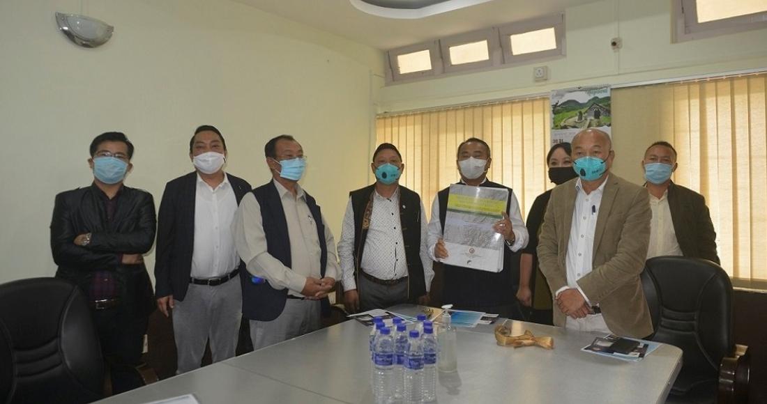
Minister for Planning & Co-ordination, Land Resources & Parliamentary Affairs Neiba Kronu on 21st August 2020 released a 2(two) Volume Report of the Project "Geospatial Water Resource Map of Nagaland" at the Office of Nagaland GIS & Remote Sensing Centre, Kohima. The project was funded under NEC titled " Conducting a detailed Survey on the Water Resource Potential in Nagaland, including preparation of report on potential of river", undertaken by the Nagaland GIS & Remote Sensing Centre under Planning & Co-ordination Department.
Speaking at the event, Kronu congratulated the officers and staffs of the State GIS & Remote Sensing Centre for the successful completion of the project and encouraged the Centre to take up more of such challenging programmes in the future. He stated that the report shall provide impulsion in the development of Hydro- Electric Power, Irrigation and drinking water availability as well as for monitoring of water quality and quantity in the State. The Minister informed that State line- Departments such as Water Resource, Power, New & Renewable Energy, Land Resources, PHED, Disaster Management etcetera would greatly benefit from the generated geospatial database as it would provide them with tools to plan with more precision and accuracy in the area of Water Resource Programmes and Schemes. Kronu also highlighted the problem of traffic congestion in Kohima and Dimapur for which an intensive study is being undertaken by the Centre to provide for viable recommendations to the Government for immediate action.
Project Director Nagaland GIS & Remote Sensing Centre, Mhathung Kithan stated that the project has been carried out with thorough research and intensive field survey with special emphasis on surface water resource management and development of Hydro-Electric Power (HEP) generation potential of the State. He informed that the report contain mapping of the entire river system, drainage network, drainage pattern and preparation of large scale watershed delineation and morphometric analysis of the 22 watershed and the survey and assessment of surface water runoff/discharge in more than 100 different locations across the State.
Principal Investigator for the Project, Chubawati gave a brief overview of the technicalities and process through which the Project was carried out in a slideshow.
Other activities and studies undertaken by the Centre includes GIS in Crime Study, Unmanned Aerial Vehicle (UAV), Village Resource Mapping, Real World Terrain Modeling, Space Based Information Support for Decentralised Planning (SIS-DP), Geomorphology and Lineament Mapping etc which provide for a vast pool of information and data that are highly useful for the planning and execution of the Schemes and Activities of the various other line- Departments of the State.
The programme was attended by Advisor for Treasuries & Accounts and National Highway Dr. Longrineken, Advisor for Water Resources Namri Nchang, Additional Development Commissioner Nosazol Charles, Deputy Development Commissioner Augustine M Yanthan and officers from the State GIS & Remote Sensing Centre.
(Renbenthung, IA)


