
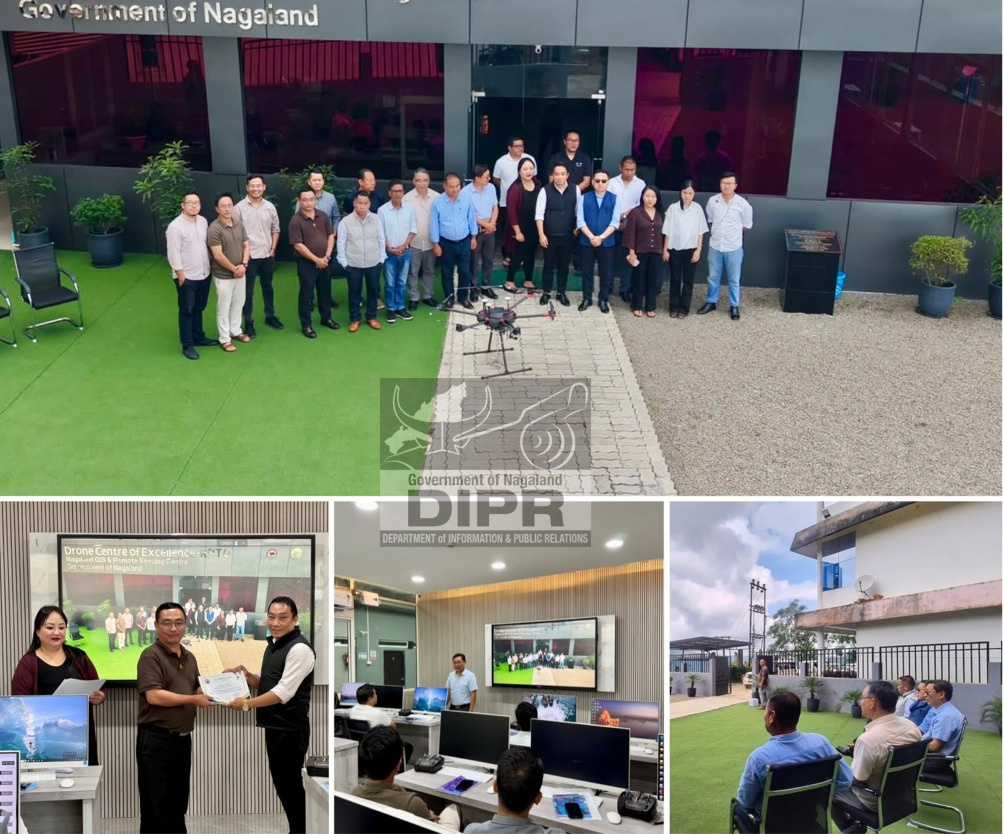
The Drone Centre of Excellence (DCoE), Nagaland GIS & Remote Sensing Centre (NGISRSC), Planning & Transformation Department, Government of Nagaland, on 18th September 2026, successfully concluded the Drone GIS Mapping & Survey Training Programme for officials of the Department of Health & Family Welfare (H&FW), Nagaland.
The programme was conducted as a follow-up to the Memorandum of Agreement (MoA) signed between NGISRSC and the H&FW Department on 22nd January 2026 for integrating drone technology into the State's healthcare service framework. The training provided H&FW officials with practical exposure to drone survey planning, aerial data acquisition, orthophoto generation, GIS processing and map composition, including field surveys at selected locations under the H&FW Department.
Dr. Kika Longkumer, Joint Director, H&FW Department, along with senior officials, attended the valedictory programme and visited the DCoE facilities, where they were given an overview of the Centre's capabilities and ongoing training programmes. The officials also witnessed live demonstrations showcasing healthcare applications of drones, including the delivery of medicines and other essential medical supplies, as well as drone-based spraying applications for vector-control and other public-health interventions.
The programme concluded with the distribution of certificates and felicitation of the trainees, followed by a meeting between senior officials of the H&FW Department and NGISRSC to discuss the way forward in implementing the objectives of the MoA. Discussions focused on further collaboration and the practical deployment of drone technology, GIS and geospatial solutions in healthcare, particularly for delivery of medicines and medical supplies to difficult-to-access areas, health-infrastructure mapping, disease-outbreak response, vector-control activities and other applications aimed at strengthening healthcare planning and service delivery across Nagaland.